
How to get to İğneada
To be verified: Distances and times are approximate. Confirm bus times with operators.
From Istanbul by car
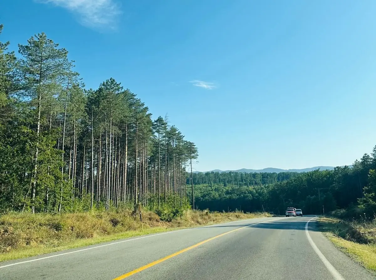
About 230–260 km, 3.5–4 hours. Common route: motorway → Saray → Vize → Demirköy → İğneada. The Demirköy–İğneada stretch winds through forest – drive slowly at night and in rain.
From Kırklareli
About 100 km via Demirköy, 1.5–2 hours.
From Edirne
About 160–170 km via Kırklareli and Demirköy, 2.5 hours.
Bus / minibus
Buses run from Istanbul and Kırklareli to Demirköy, with minibuses on to İğneada. Frequencies drop outside summer.
From Bulgaria
The nearest land crossing from Bulgaria is Dereköy (opposite Malko Tarnovo), then via Kırklareli.
Get directions
Frequently asked questions
How far is İğneada from Istanbul?
About 230–260 km by road, 3.5–4 hours depending on traffic.
Which route goes from Istanbul to İğneada?
Usually the motorway → Saray → Vize → Demirköy → İğneada. The last stretch after Demirköy winds through forest, so drive slowly at night and in rain.
Is there a bus to İğneada?
Buses run from Istanbul and Kırklareli to Demirköy, with minibuses on to İğneada. There are fewer outside summer, so check times with the operators.
Do I need a car in İğneada?
Not for the town, beach and longoz trails. You will need one for Dupnisa Cave, Beğendik, Mount Mahya and the waterfalls.