
The 20 best places to visit in İğneada
İğneada is a Black Sea village in the Demirköy district of Kırklareli, a few kilometres from the Bulgarian border and about 3.5–4 hours from Istanbul. It is surrounded by rare floodplain (longoz) forests, five natural lakes, long sandy beaches and the cool forests of the Istranca mountains. Here are the 20 best places to see, from the town and the longoz, along the coast to the lighthouse and coves, north to Beğendik and inland to Dupnisa Cave and Mount Mahya. One day covers the town, beach and longoz; allow 2–3 days to add Dupnisa, Beğendik and Mahya.
1 İğneada Floodplain Forests National Park
National Park · Longoz Forests National Park
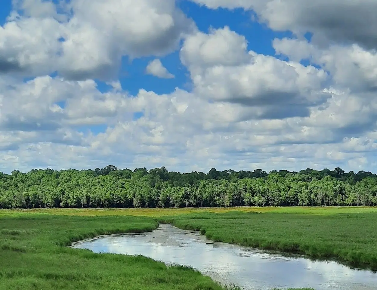
A longoz is a forest that is flooded for part of the year, where ash, alder, oak and elm are wrapped in climbers. Declared a national park on 13 November 2007 and covering about 3,155 ha, it joins lakes, streams, dunes and forest into one ecosystem. Trails and boardwalks let you see it up close; it also lies on a major bird migration route. Entry is charged. 2026 tariff: 75 TL per person, bicycle 75 TL, motorbike/ATV 150 TL, car 225 TL, caravan 450 TL; tent pitch (4 people, per day) 450 TL, caravan pitch 675 TL. Charged once a day; under-7s and over-65s on foot are free. The park has five lakes: Mert (266 ha), Erikli (43 ha), Hamam (19 ha), Pedina (10 ha) and Saka (5 ha). Bring mosquito repellent in summer and stay on marked trails. No fires 1 June – 31 October.
Local note: You can drive into the national park and park inside. The road is unpaved but flat; still, take it slowly, especially after rain.
When to go: Best: April–June and September–November (autumn colours).
2 Lake Mert
Lake & Longoz · Longoz Forests National Park
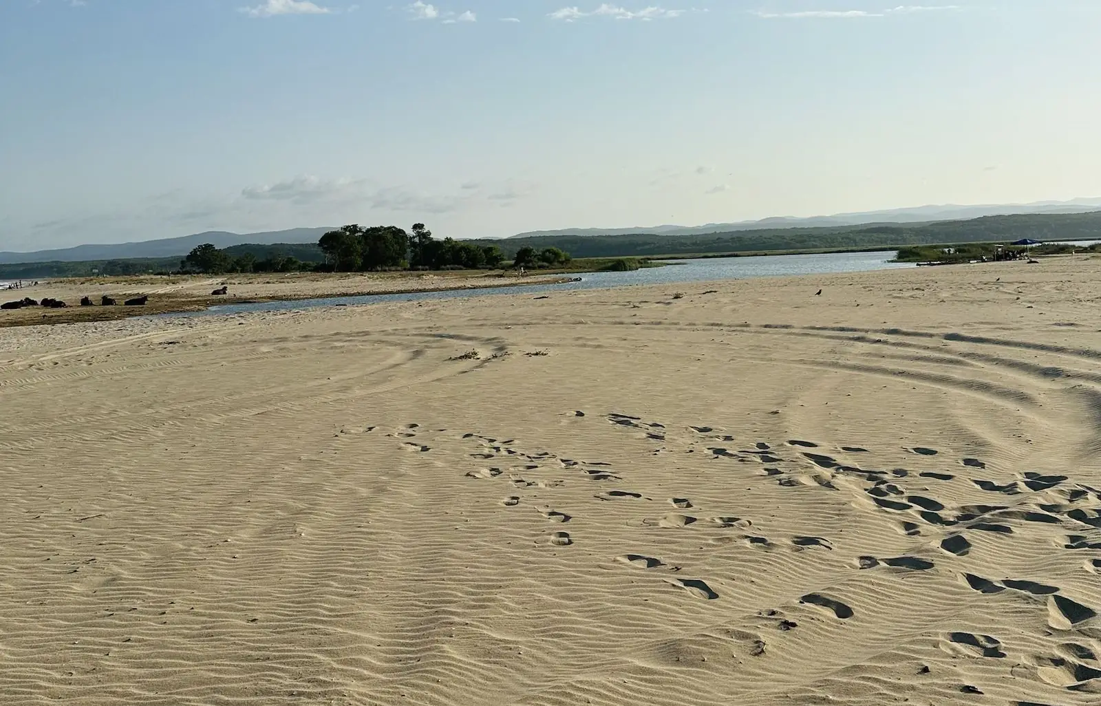
Formed where the Çavuşdere stream meets the sea, the 266-ha Lake Mert is the largest and closest longoz lake to town and the most photographed view in the area. Gliding by canoe along the silent channel lined with mirrored trees is a must. The shore picnic area is used for picnics and camping. Canoe rental points are on the shore; life jackets and dry bags are provided, with optional guided trips. A round trip into the forest takes about 1.5–2 hours; the lake is about 2 m deep at most. Expect queues on summer weekends – go early and ask the price at the rental point. ATV tours of about 1.5 hours also run from rental points in town. The lake is inside the national park, so park entry applies.
Local note: There is parking right by the lake shore. The canoe hire point is next to the railway-wagon café on the shore.
When to go: Best canoeing months: May–October.
3 Longoz Walking Trails
Forest · Longoz Forests National Park
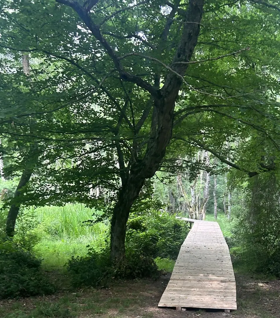
The park has marked trails of various lengths. Easy loops suit families; longer routes reach deep forest, lakeshores and stream mouths. Early morning is cool and full of birdsong.
4 Lake Mert Beach & Campsite
Beach · Longoz Forests National Park
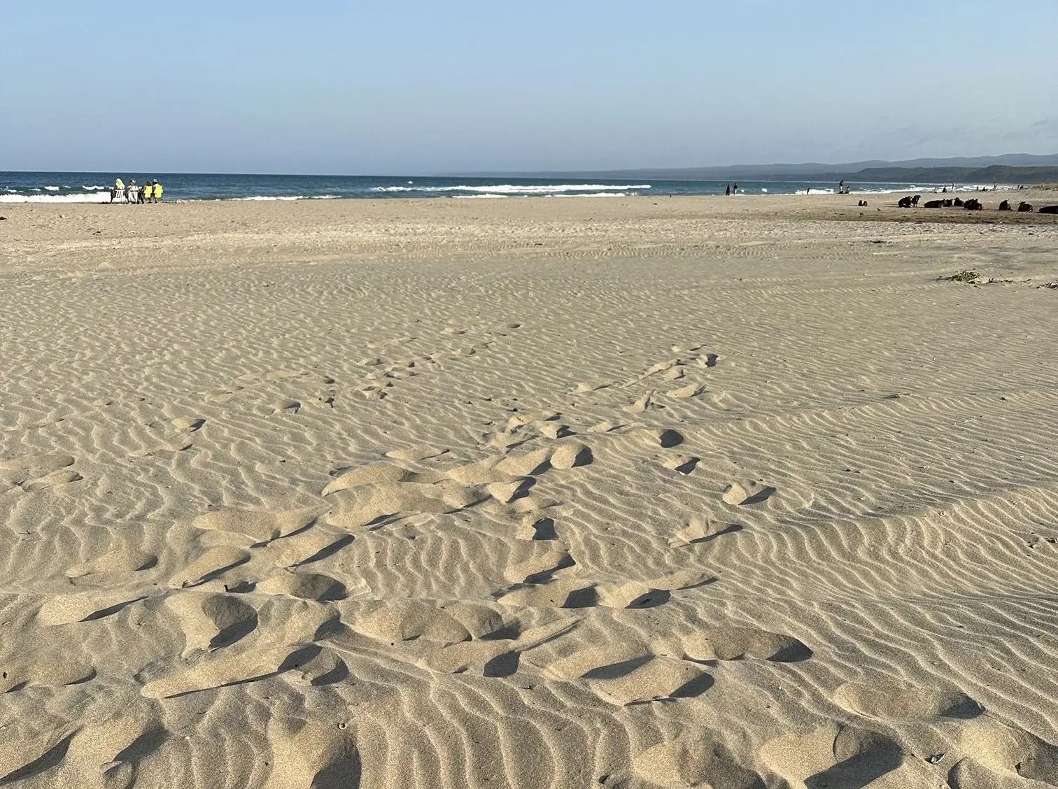
Where Lake Mert opens to the sea, a wide beach offers lake and longoz on one side and the Black Sea on the other. The shore campsite is popular with tent and caravan campers in summer.
5 İğneada Public Beach
Beach · İğneada Town & Coast
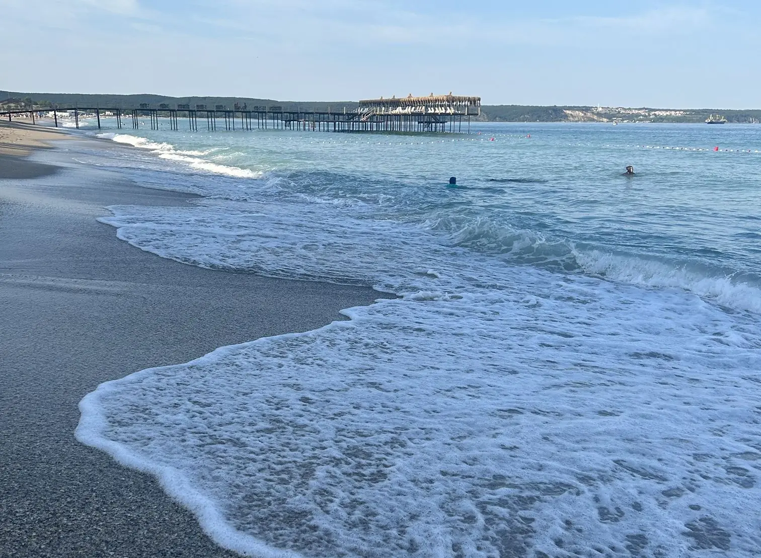
Within walking distance of the centre, this long sandy beach is a favourite with families. On wavy Black Sea days watch for currents and swim only where lifeguards are on duty. Always obey the red flag on windy days.
Local note: You can walk down to the beach from the town centre, but in season it gets very crowded and parking is hard. On the road from the centre towards Limanköy there is plenty of roadside parking; leave the car there and walk onto a much quieter stretch of beach. Sunbeds and umbrellas can be hired both in town and from businesses between İğneada and Limanköy.
6 Lake Erikli
Lake & Longoz · Longoz Forests National Park
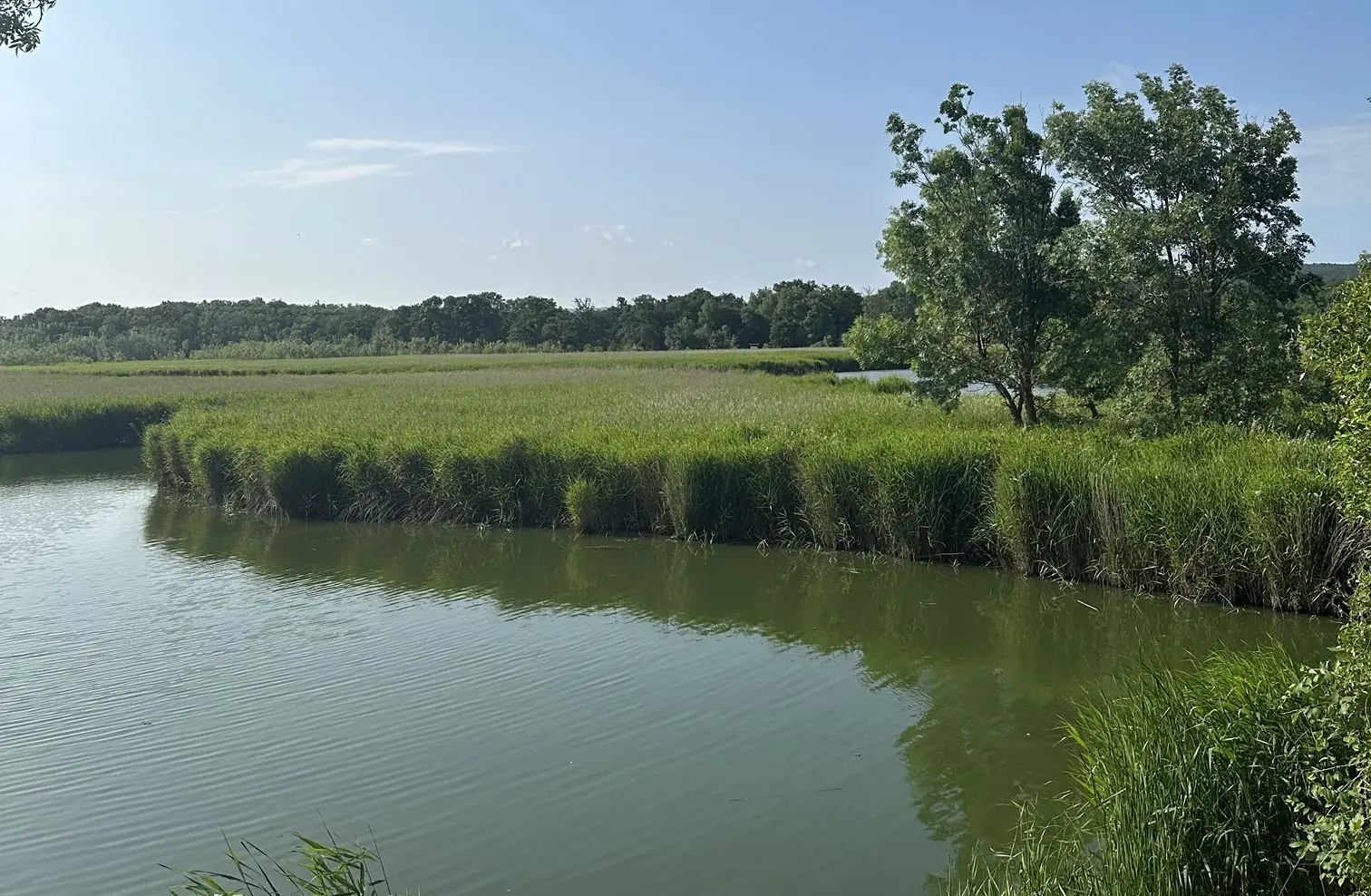
Just north of İğneada, close to the sea and lined with dunes – you can see lake and sea in one frame. Morning and dusk are ideal for birdwatching.
Local note: From İğneada centre, walk about 10 minutes (or cycle a few minutes) towards Limanköy. A lake with a unique view, no car needed.
7 Lake Hamam
Lake & Longoz · Longoz Forests National Park
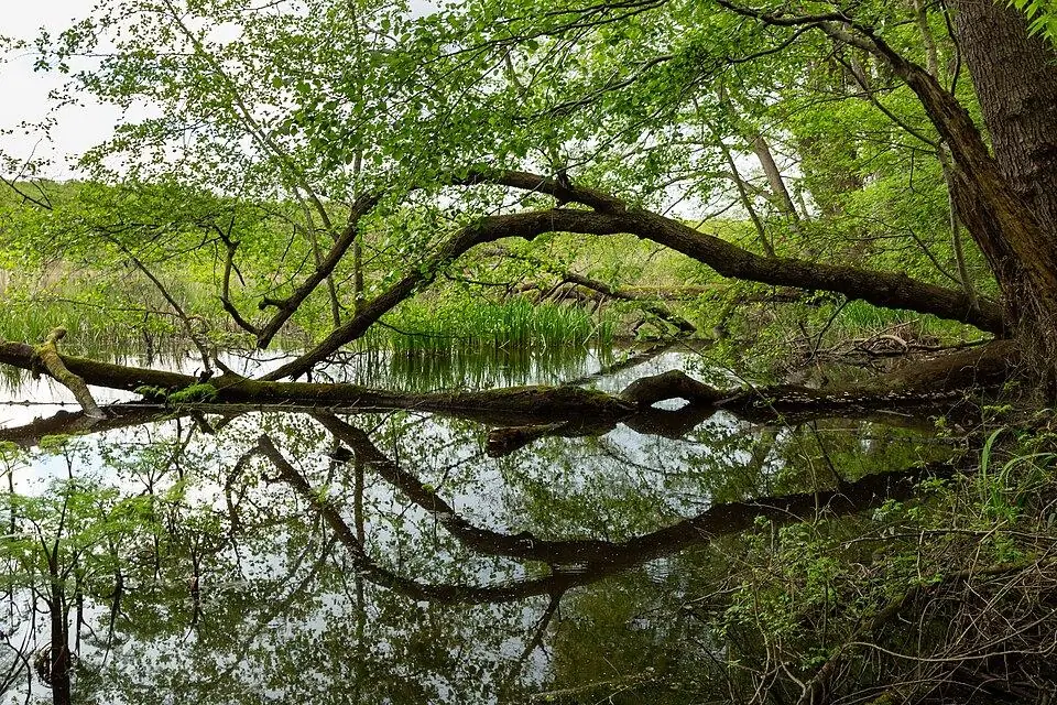
South of Lake Mert in the densest part of the longoz, a natural lake with few visitors. Reached by forest tracks that get muddy after rain.
8 Lake Pedina
Lake & Longoz · Longoz Forests National Park
At about 10 ha, Lake Pedina is one of the park’s five lakes, lying in the western part of the longoz among oaks. It sits on the bird migration route between Europe and Africa; black storks and white-tailed eagles feed and breed here. Water chestnut and floating reed islands cover parts of the surface. When its natural dam broke in 2015 the lake dried out for a while, then refilled on its own.
When to go: Bird migration: September–October and April–May.
9 Lake Saka Nature Reserve
Lake & Longoz · Longoz Forests National Park
South of the national park, inside a strictly protected nature reserve. Water lilies cover the surface in early summer. Access is restricted in places – ask the park office before visiting.
10 İğneada – Limanköy Fishing Harbour
Harbour · Limanköy & İğneada Cape
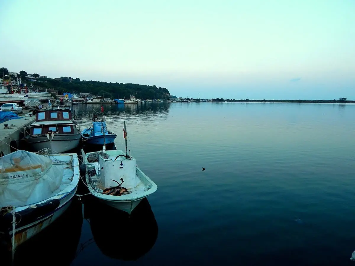
The town's fishing tradition lives here. Early in the morning you can watch the boats come in; in season anchovy, horse mackerel, whiting and turbot reach the stalls.
When to go: Catch varies by season (generally richer between September and April).
11 İğneada Cape Lighthouse ("French Lighthouse")
Historic Site · Limanköy & İğneada Cape
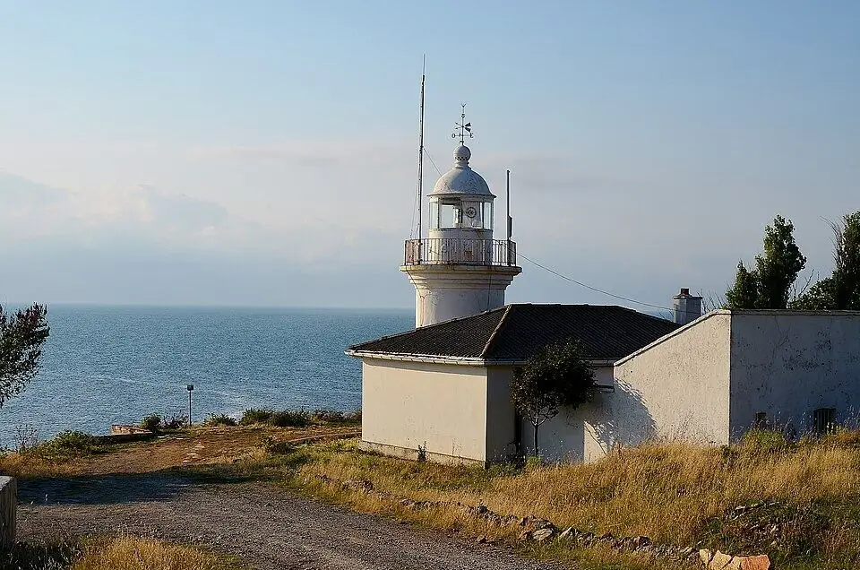
Locally called the "French Lighthouse", it stands at the tip of İğneada Cape in Limanköy. A light station has existed here since 1866; the first tower, built by French engineers, was destroyed in 1903 and the current white masonry tower dates from 1913. Come at dusk for the colours over the sea.
Local note: As you enter Limanköy, follow the signs; the road to the lighthouse turns down to the left at the village entrance. You can drive right up to the lighthouse, park and enjoy the view. There are no cafés or shops at the lighthouse, so bring water and snacks.
12 Limanköy
Village · Limanköy & İğneada Cape
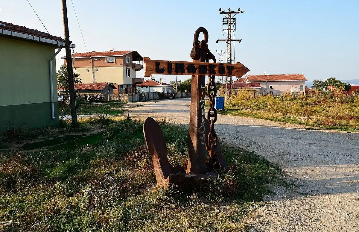
A small village on İğneada Cape, about 6 km east of the town. Its lighthouse, rocky shores and quiet cafés make an ideal day trip.
13 Lovers' Cove
Beach · Limanköy & İğneada Cape
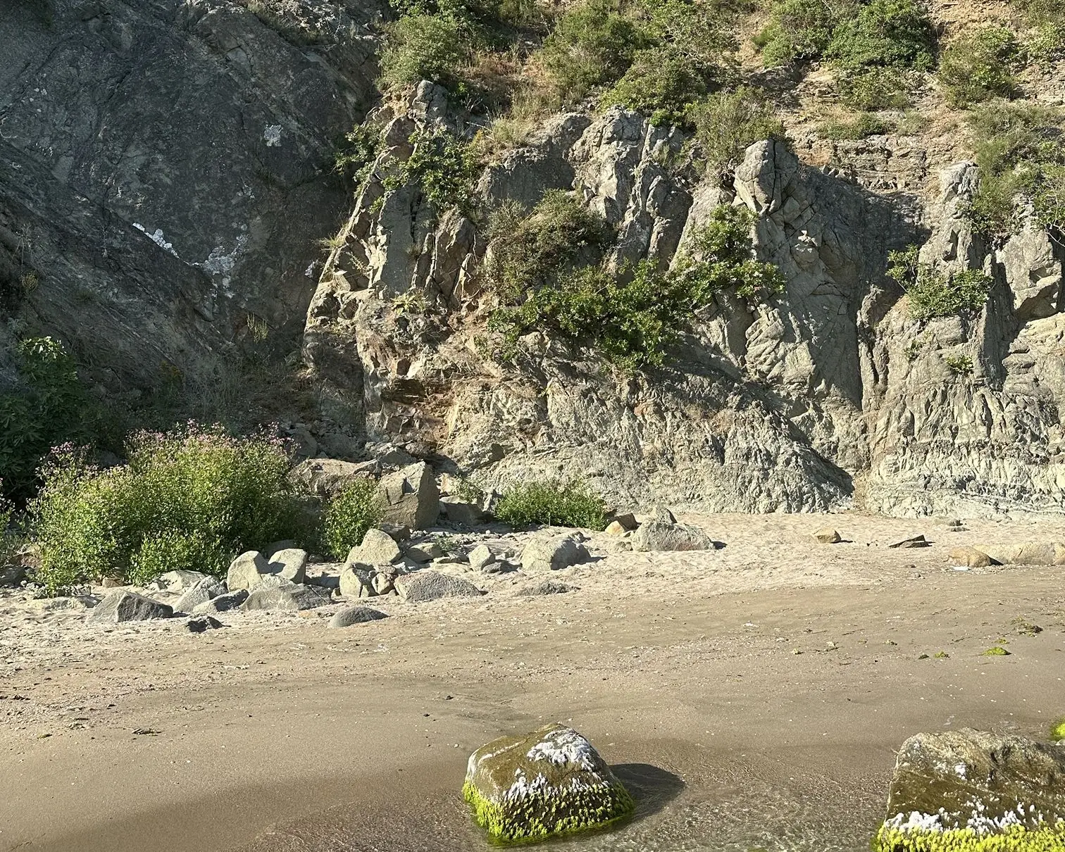
Lovers’ Cove (Aşıklar Plajı) is a small rock-sheltered cove right next to the fishing shelter in Limanköy. Because it is a cove, the sea is usually calmer here, often wave-free, even when the open beaches are rough, which is why many call it İğneada’s most beautiful beach. The seabed is rocky. There is a large car park, but the beach is small and very busy on summer weekends.
Local note: Lovers’ Cove is next to the fishing shelter in Limanköy. There is a large car park and you will always find a space, but if you arrive late in season you may park further away and carry your gear. The beach is small and gets very crowded on summer weekends, when even finding room for a towel can be hard. Still, we think it is İğneada’s most beautiful beach: being a cove, it is often calm or wave-free when the open beaches are rough. The seabed is rocky, so bring water shoes.
14 Beğendik Village
Village · Beğendik & Border Villages
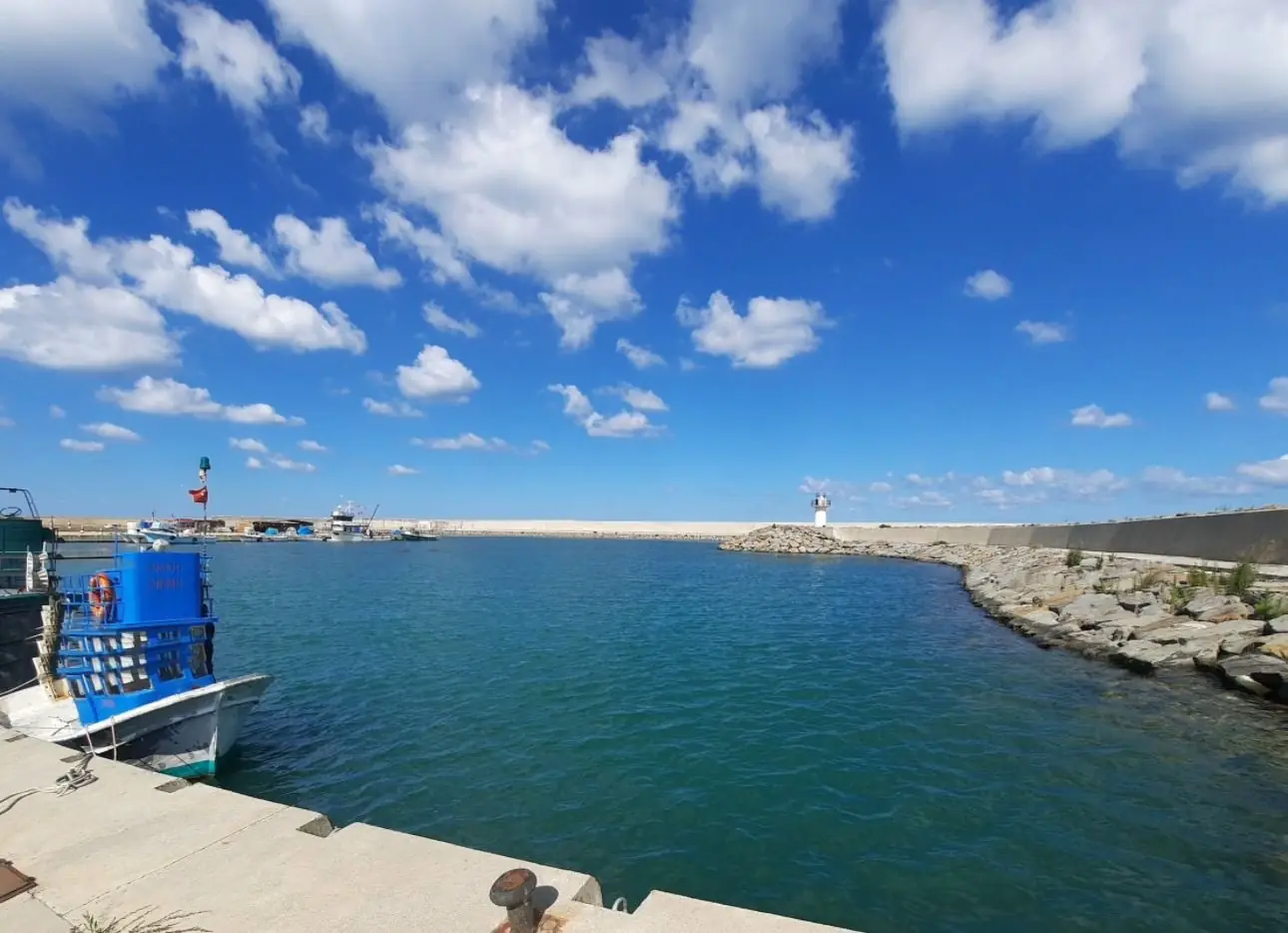
One of Türkiye's northernmost Black Sea villages. Its coast is a favourite for quiet camping, and the road there runs through longoz forest. It is a border area – respect military zone signs.
15 Beğendik Beach
Beach · Beğendik & Border Villages
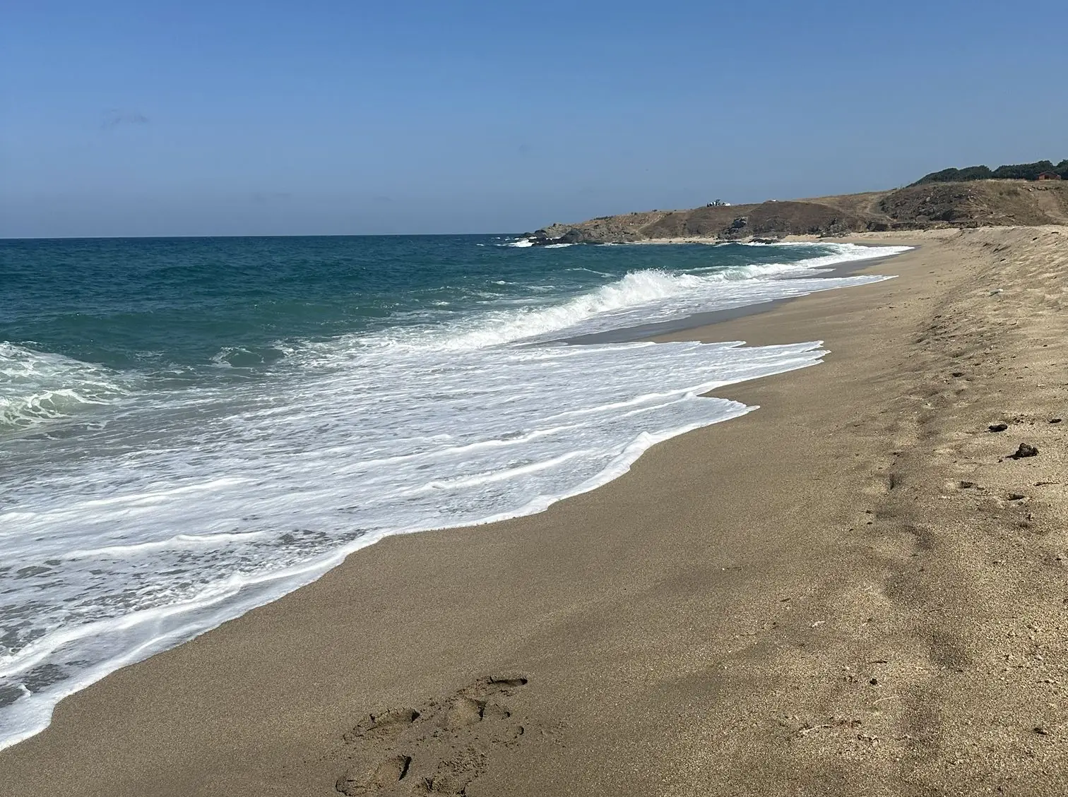
Beğendik beach is a large, wide stretch of sand reached through the village. It is quieter than the town beach and popular with tent campers. The sea is deep and usually wavy, so take care, especially with children. Great for stargazing and sunrise over the sea. Follow fire rules and leave no trace.
Local note: The road is fully paved and in good condition; you reach the beach through Beğendik village. The sea is deep and usually wavy, so be careful and stay close to shore. Even so, it is a uniquely large and beautiful sandy beach. There are kiosks and small businesses on the hill above the beach and in the village.
16 Dupnisa Cave
Cave · Dupnisa & Sarpdere
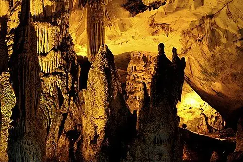
Near Sarpdere village, Dupnisa is a cave system with dry and wet sections and lit walkways among stalactites and stalagmites. As a bat habitat it closes for part of the year. It is cool inside even in summer. In 2024 entry was 30 TL (students 15 TL); the Müzekart is not accepted. Hours are reported as 08:00–17:00. It is cool inside even in summer – bring a layer and non-slip shoes. Stalls at the entrance sell hardaliye and honey.
Local note: The road to Dupnisa is generally fine but can deteriorate at times depending on the season; drive carefully, especially after rain. There are places to eat and buy supplies along the road and next to the cave.
When to go: The wet section, home to the bats, is open only 15 May – 15 November; in winter only the dry section is reported to be open. It was also closed for maintenance 22 April – 6 May 2026.
17 Demirköy Fatih Foundry
Historic Site · Demirköy & the Foundry
Considered an important Ottoman industrial site where local iron ore was processed and cannonballs cast. Excavated furnaces and workshops shed light on the area's mining past.
18 Istranca (Strandzha) Forests
Forest · Demirköy & the Foundry
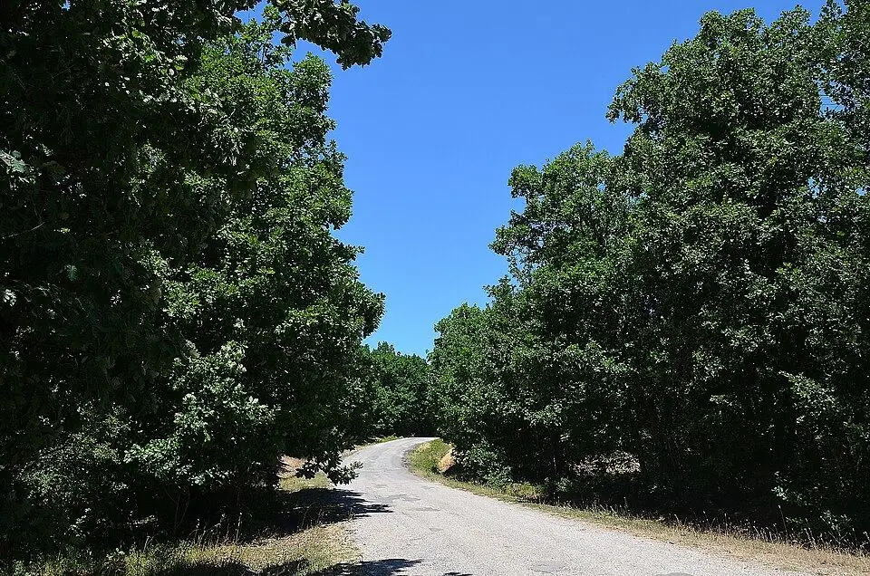
The Istranca (Strandzha) mountains form a wide forest belt between Türkiye and Bulgaria. The Demirköy–İğneada road winds through it – spectacular in autumn colours.
19 Mount Mahya
Mountain · Mount Mahya & Waterfalls
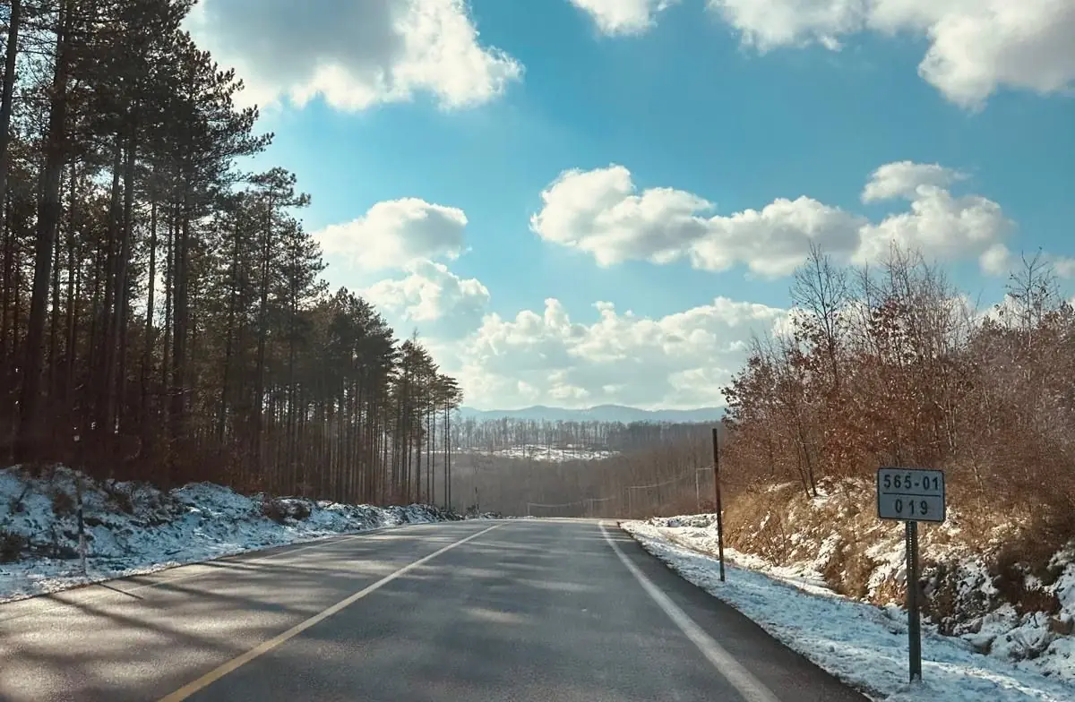
Known as the highest point of the Istranca (Strandzha) range. On clear days the summit area offers views towards the Black Sea and the Thracian plain. Weather changes fast – carry water and a rain jacket.
20 Twin Waterfalls (İkizler)
Waterfall · Mount Mahya & Waterfalls
Named for its two parallel cascades, it lies in the forest near Sergen village on the eastern slopes of Mount Mahya – a shady short hike on summer days.
Plan your trip
1 and 2 day itineraries · İğneada map · All 32 places · Where to stay · What to eat · Getting there
Frequently asked questions
What are the must-see places in İğneada?
On a first visit: the Longoz Forests National Park, canoeing on Lake Mert, Lake Mert beach, the Public Beach and the lighthouse. Add Dupnisa Cave and Beğendik on day two.
How many days do you need in İğneada?
One day for the town, beach and longoz; 2–3 days to add Dupnisa, Beğendik and Mount Mahya.
When is the best time to visit?
June–September for the sea, spring for the flooded forest and waterfalls, October–November for colours and calm.