
Longoz Walking Trails
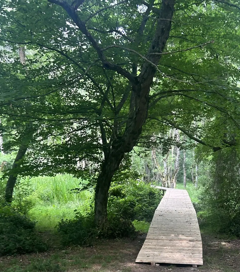
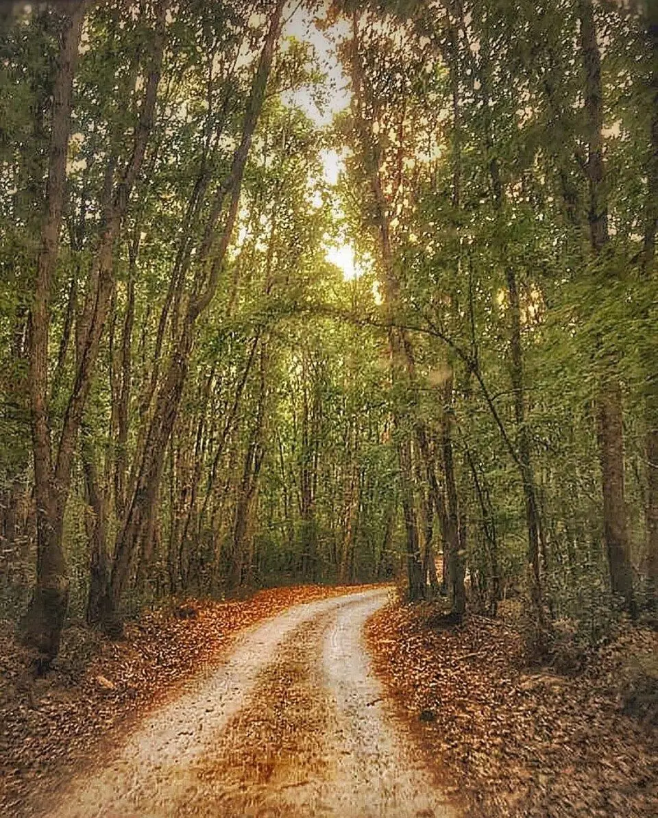
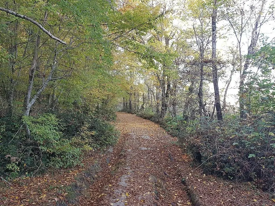
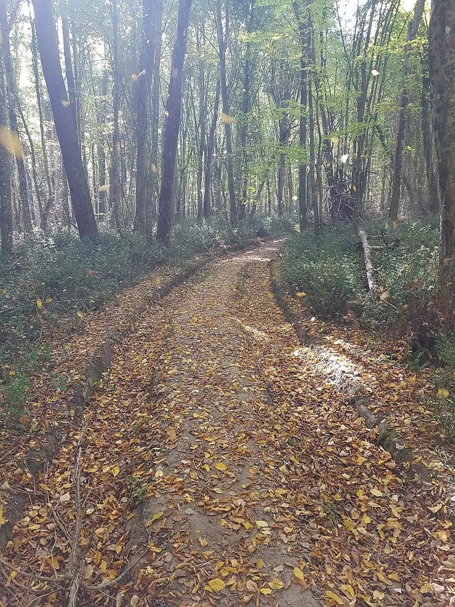
Short walks into the longoz on boardwalks and forest paths.
To be verified: Parkur uzunlukları ve başlangıç noktaları yerinde doğrulanmalı.
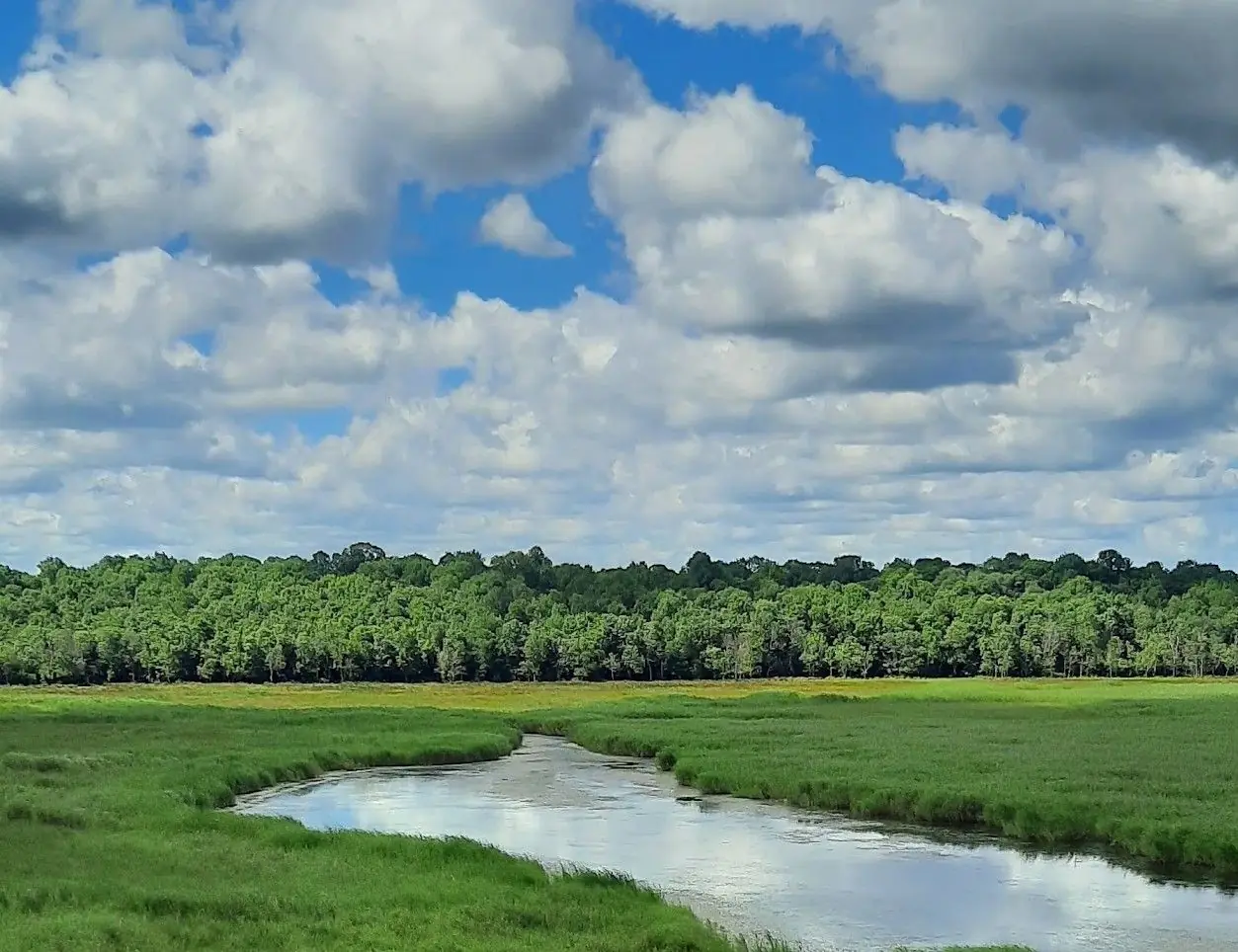
The park has marked trails of various lengths. Easy loops suit families; longer routes reach deep forest, lakeshores and stream mouths. Early morning is cool and full of birdsong.
Map: Longoz Forests National ParkFAQ
Where is Longoz Walking Trails?
Longoz Walking Trails is in the Longoz Forests National Park area, about 3 km from İğneada town centre as the crow flies. The road distance can be longer.
How do I get to Longoz Walking Trails?
Coordinates 41.8545, 27.9585. Use the “Open in Google Maps” button on this page for directions from where you are. For getting to İğneada from Istanbul, see our “Getting there” page.
Nearby
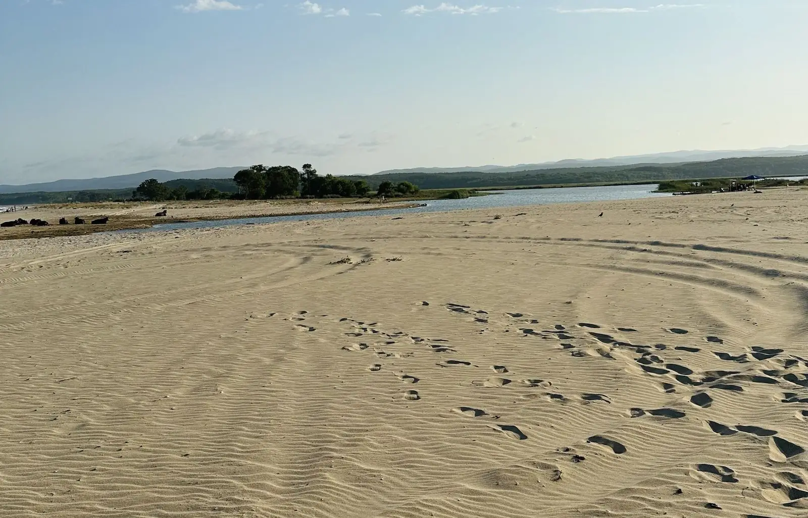
Lake Mert
Longoz Forests National Park · To be verified
A lake winding through the longoz to the sea – famous for canoe trips and picnics.
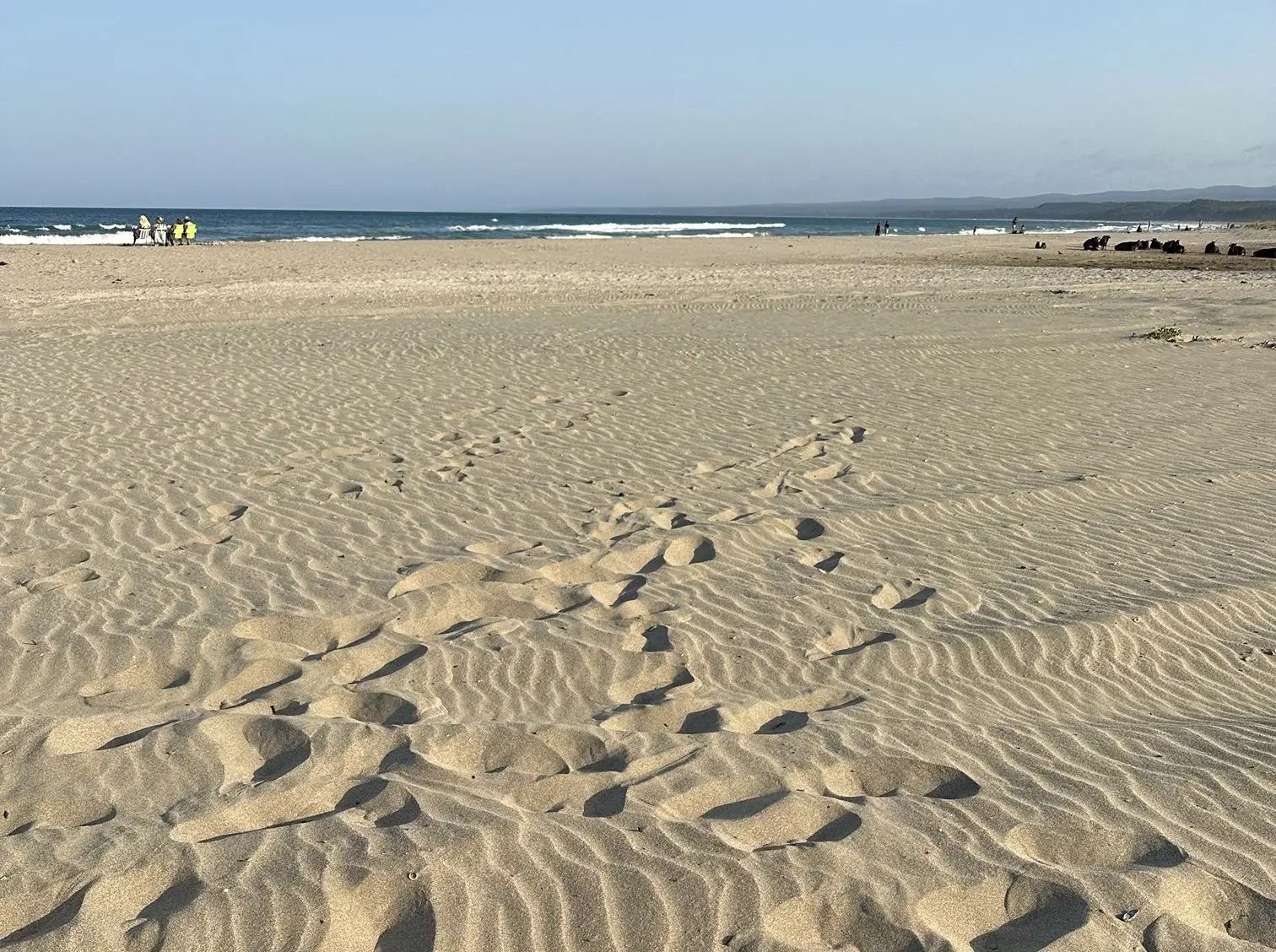
Lake Mert Beach & Campsite
Longoz Forests National Park · To be verified
The beach where Lake Mert meets the sea – a classic spot for tent camping and picnics.
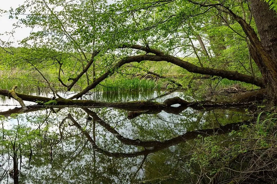
Lake Hamam
Longoz Forests National Park · To be verified
A small, wild lake hidden in the southern longoz forest.
Lake Pedina
Longoz Forests National Park · To be verified
A small, quiet lake at the western edge of the longoz, ringed by oaks and known for black storks.
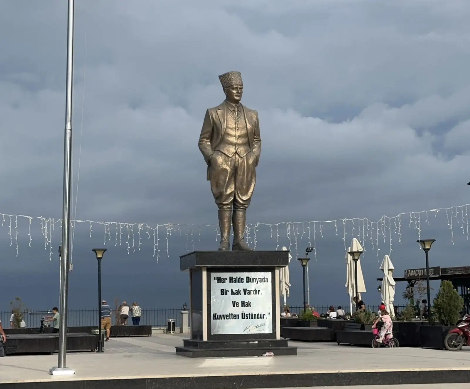
İğneada Town Centre
İğneada Town & Coast
A small seaside town where forest meets the Black Sea – the starting point of every trip.
İğneada Floodplain Forests National Park
Longoz Forests National Park
One of Europe's few remaining floodplain ("longoz") forests – the heart of the region.