
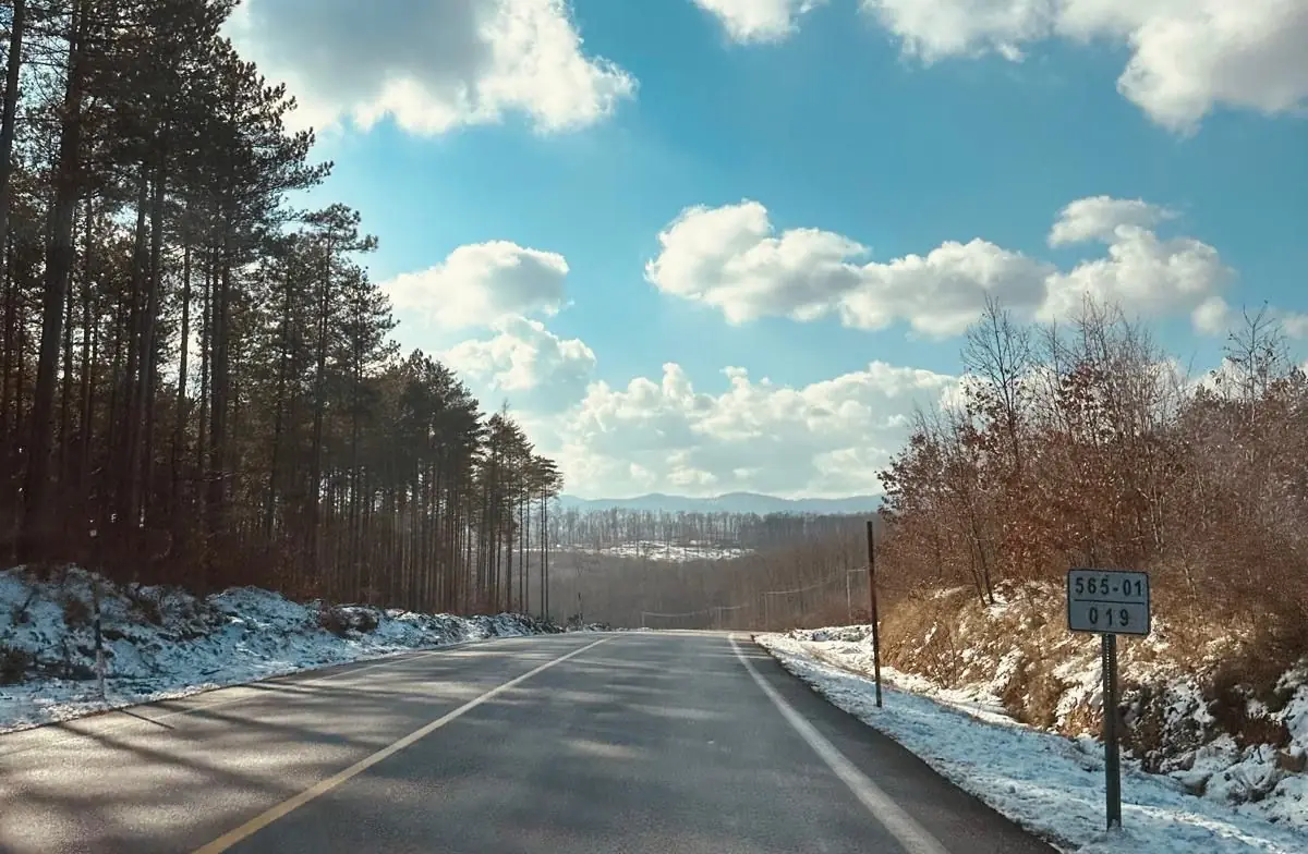
Mount Mahya
The highest summit of the Istranca range – for views, hikes and camping.
To be verified: Yol durumu mevsime göre değişir; zirveye çıkış rotası yerinde doğrulanmalı.
Known as the highest point of the Istranca (Strandzha) range. On clear days the summit area offers views towards the Black Sea and the Thracian plain. Weather changes fast – carry water and a rain jacket.
Map: Mount Mahya & WaterfallsFAQ
Where is Mount Mahya?
Mount Mahya is in the Mount Mahya & Waterfalls area, about 32 km from İğneada town centre as the crow flies. The road distance can be longer.
How do I get to Mount Mahya?
Coordinates 41.7831, 27.6200. Use the “Open in Google Maps” button on this page for directions from where you are. For getting to İğneada from Istanbul, see our “Getting there” page.
Nearby
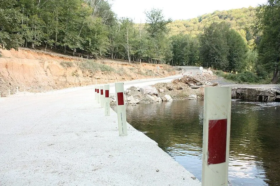
Sarpdere Trout Stops
Dupnisa & Sarpdere · To be verified
Fresh trout by the stream after visiting Dupnisa.
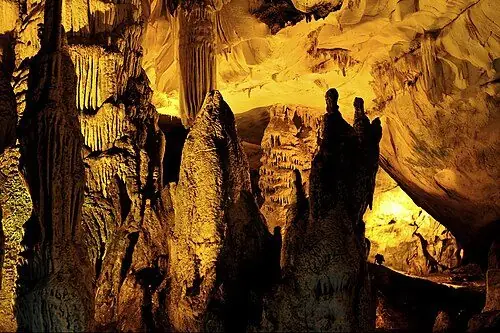
Dupnisa Cave
Dupnisa & Sarpdere · To be verified
Thrace's most famous show cave, with dripstones and bat colonies.
Demirköy Fatih Foundry
Demirköy & the Foundry · To be verified
Remains of an Ottoman-era iron foundry where cannonballs were cast.
Demirköy
Demirköy & the Foundry
The district town İğneada belongs to – gateway to the Istranca forests.
Karapınar Waterfall
Dupnisa & Sarpdere · To be verified
A stepped forest waterfall west of Dupnisa near Çukurpınar.
Twin Waterfalls (İkizler)
Mount Mahya & Waterfalls · To be verified
Two side-by-side cascades on the eastern foothills of Mount Mahya.