
Demirköy
The district town İğneada belongs to – gateway to the Istranca forests.
Named after the iron worked here throughout history. A good stop on the way to İğneada for the market, local produce and the historic foundry.
Map: Demirköy & the FoundryFAQ
Where is Demirköy?
Demirköy is in the Demirköy & the Foundry area, about 19 km from İğneada town centre as the crow flies. The road distance can be longer.
How do I get to Demirköy?
Coordinates 41.8222, 27.7653. Use the “Open in Google Maps” button on this page for directions from where you are. For getting to İğneada from Istanbul, see our “Getting there” page.
Nearby
Demirköy Fatih Foundry
Demirköy & the Foundry · To be verified
Remains of an Ottoman-era iron foundry where cannonballs were cast.
Hamdibey Village
Demirköy & the Foundry · To be verified
A quiet mountain village surrounded by forest.
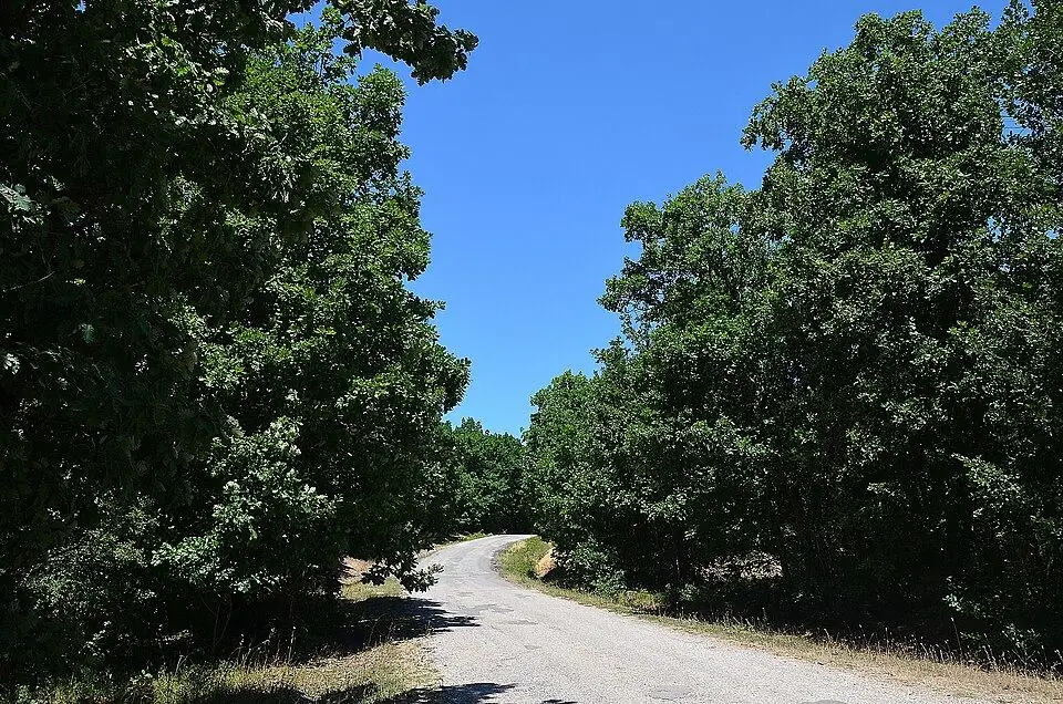
Istranca (Strandzha) Forests
Demirköy & the Foundry
Thrace's largest forest belt, dominated by oak and beech.
Twin Waterfalls (İkizler)
Mount Mahya & Waterfalls · To be verified
Two side-by-side cascades on the eastern foothills of Mount Mahya.
Cehennem Waterfall
Mount Mahya & Waterfalls · To be verified
A waterfall hidden at the bottom of a deep valley near Kızılağaç.
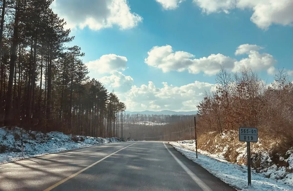
Mount Mahya
Mount Mahya & Waterfalls · To be verified
The highest summit of the Istranca range – for views, hikes and camping.