
Karapınar Waterfall
A stepped forest waterfall west of Dupnisa near Çukurpınar.
To be verified: Konum OpenStreetMap kaydına dayanır; patika durumu yerinde kontrol edilmeli.
In the wooded valley on the way to Dupnisa Cave, a waterfall in several steps. Easy to combine with a cave visit; fullest in spring and early summer.
Map: Dupnisa & SarpdereFAQ
Where is Karapınar Waterfall?
Karapınar Waterfall is in the Dupnisa & Sarpdere area, about 39 km from İğneada town centre as the crow flies. The road distance can be longer.
How do I get to Karapınar Waterfall?
Coordinates 41.8687, 27.5124. Use the “Open in Google Maps” button on this page for directions from where you are. For getting to İğneada from Istanbul, see our “Getting there” page.
Nearby
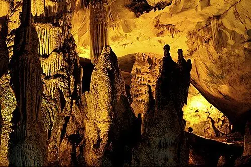
Dupnisa Cave
Dupnisa & Sarpdere · To be verified
Thrace's most famous show cave, with dripstones and bat colonies.
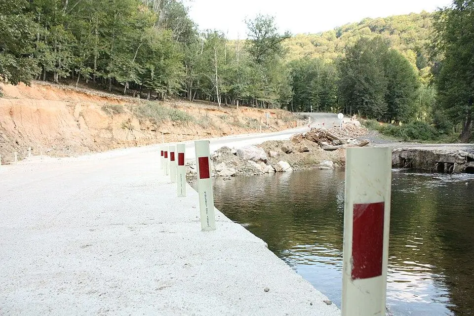
Sarpdere Trout Stops
Dupnisa & Sarpdere · To be verified
Fresh trout by the stream after visiting Dupnisa.
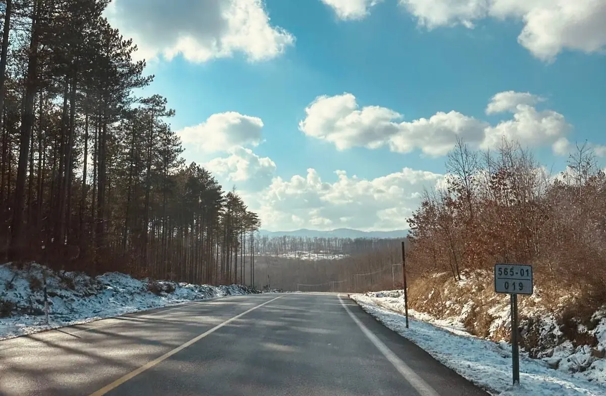
Mount Mahya
Mount Mahya & Waterfalls · To be verified
The highest summit of the Istranca range – for views, hikes and camping.
Demirköy Fatih Foundry
Demirköy & the Foundry · To be verified
Remains of an Ottoman-era iron foundry where cannonballs were cast.
Hamdibey Village
Demirköy & the Foundry · To be verified
A quiet mountain village surrounded by forest.
Demirköy
Demirköy & the Foundry
The district town İğneada belongs to – gateway to the Istranca forests.