
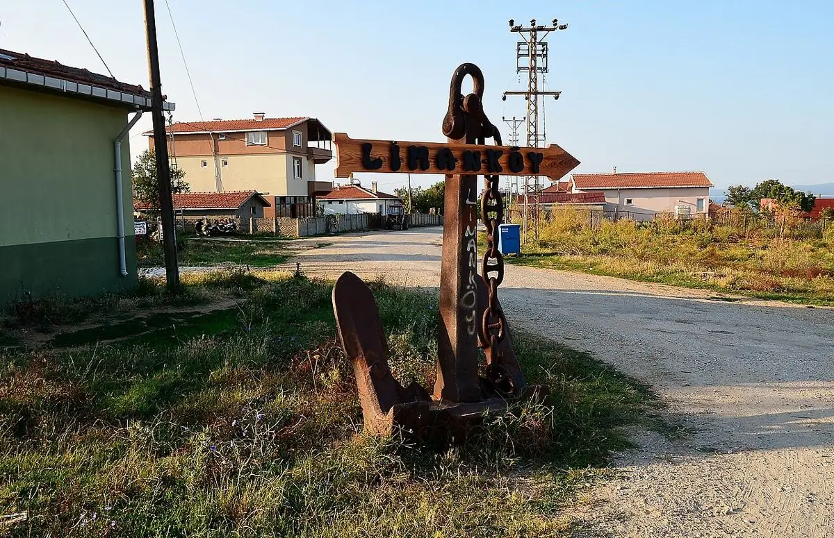
Limanköy
A calm village east of İğneada with a lighthouse, tiny harbour and rocky coves.
To be verified: Konum yaklaşık.
A small village on İğneada Cape, about 6 km east of the town. Its lighthouse, rocky shores and quiet cafés make an ideal day trip.
Map: Limanköy & İğneada CapeFAQ
Where is Limanköy?
Limanköy is in the Limanköy & İğneada Cape area, about 5 km from İğneada town centre as the crow flies. The road distance can be longer.
How do I get to Limanköy?
Coordinates 41.8849, 28.0490. Use the “Open in Google Maps” button on this page for directions from where you are. For getting to İğneada from Istanbul, see our “Getting there” page.
Nearby
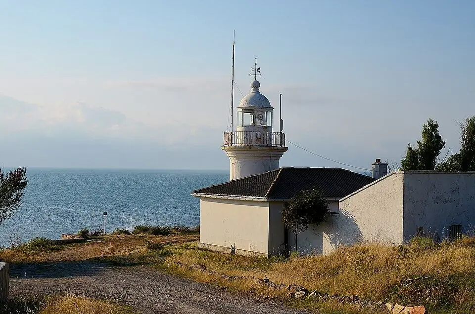
İğneada Cape Lighthouse ("French Lighthouse")
Limanköy & İğneada Cape · To be verified
At the tip of the cape at Limanköy – the area's favourite spot for sunsets and sea views.
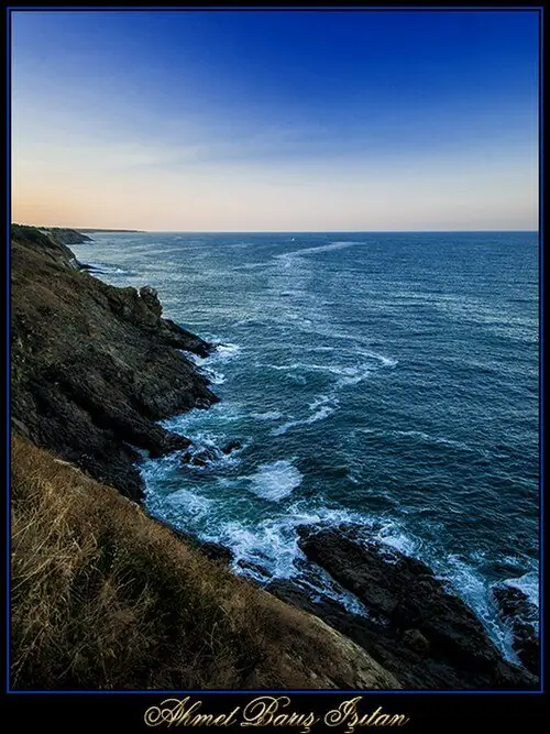
Limanköy Coves
Limanköy & İğneada Cape · To be verified
Small natural coves with clear water and rocks.
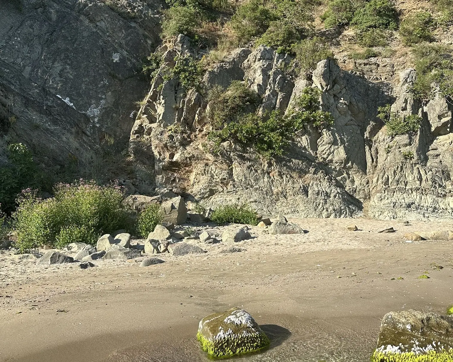
Lovers' Cove
Limanköy & İğneada Cape · To be verified
A small cove by the Limanköy fishing shelter, loved for calm, clear water even on wavy days.
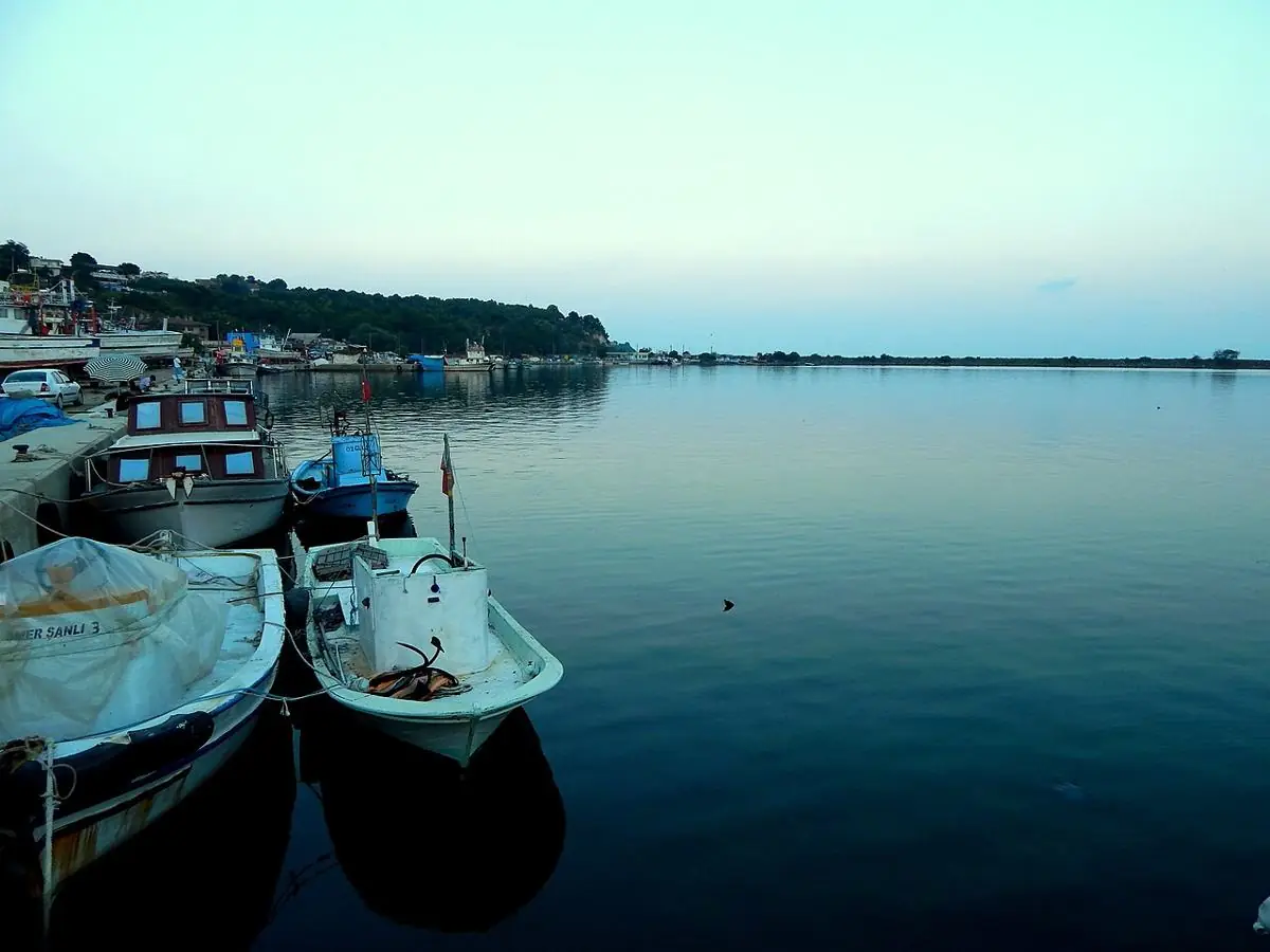
İğneada – Limanköy Fishing Harbour
Limanköy & İğneada Cape · To be verified
A colourful harbour where boats return in the morning with the day's catch.
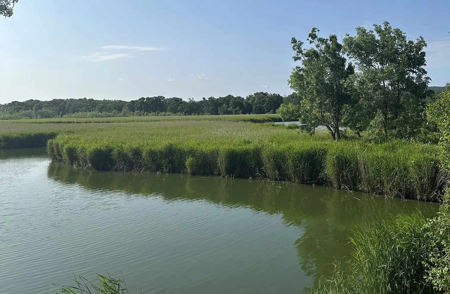
Lake Erikli
Longoz Forests National Park · To be verified
A quiet lake north of town, framed by dunes and forest.
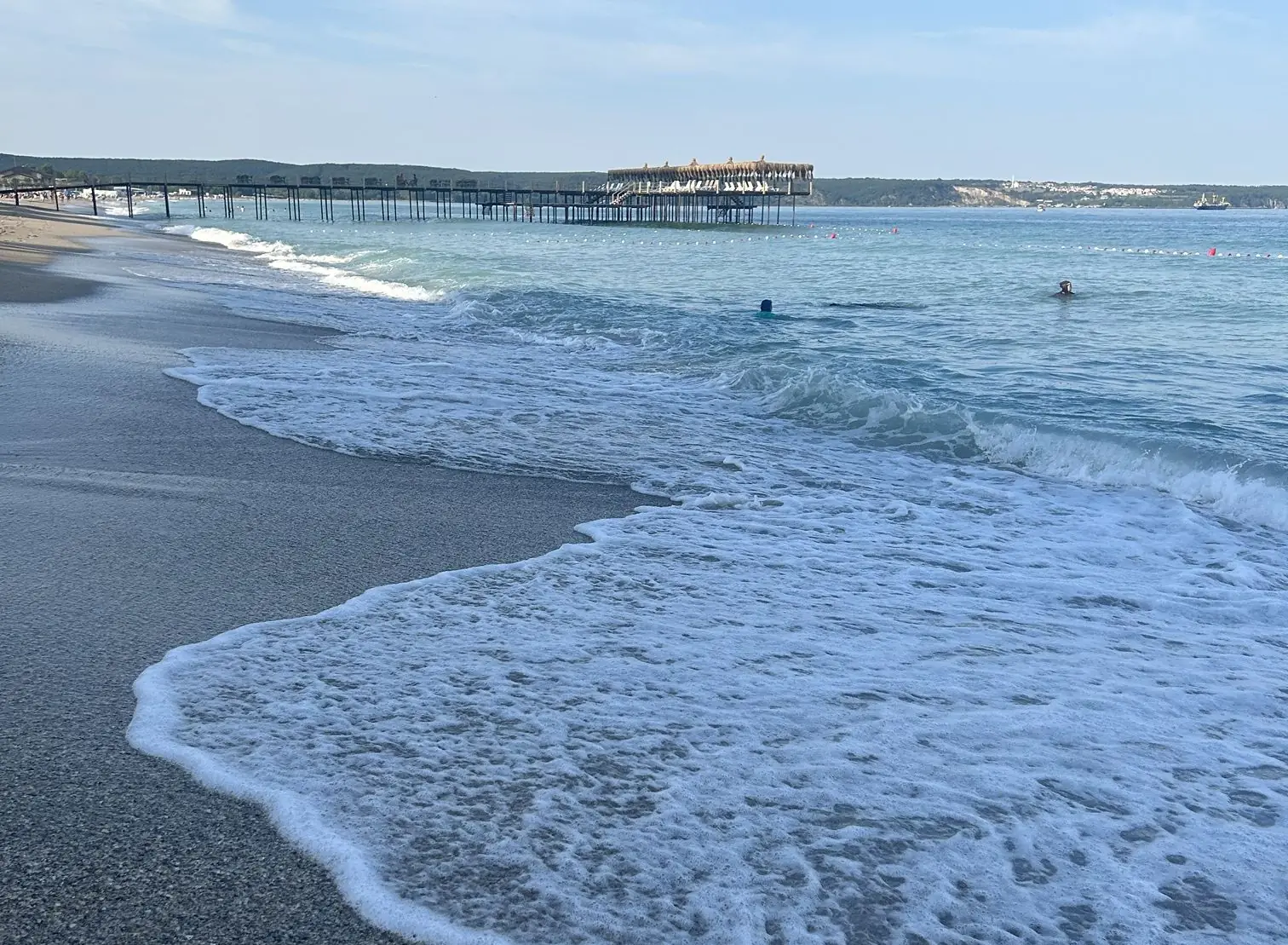
İğneada Public Beach
İğneada Town & Coast · To be verified
The town's main beach: wide, fine sand and a gently shelving entry.