
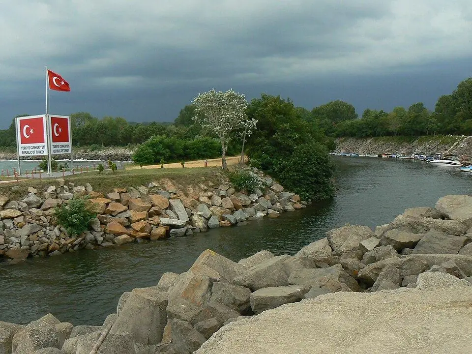
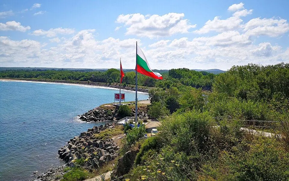
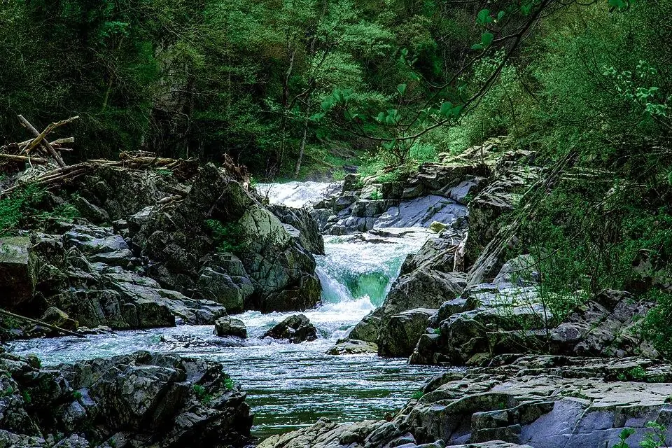
Mutludere (Rezovo) Border River
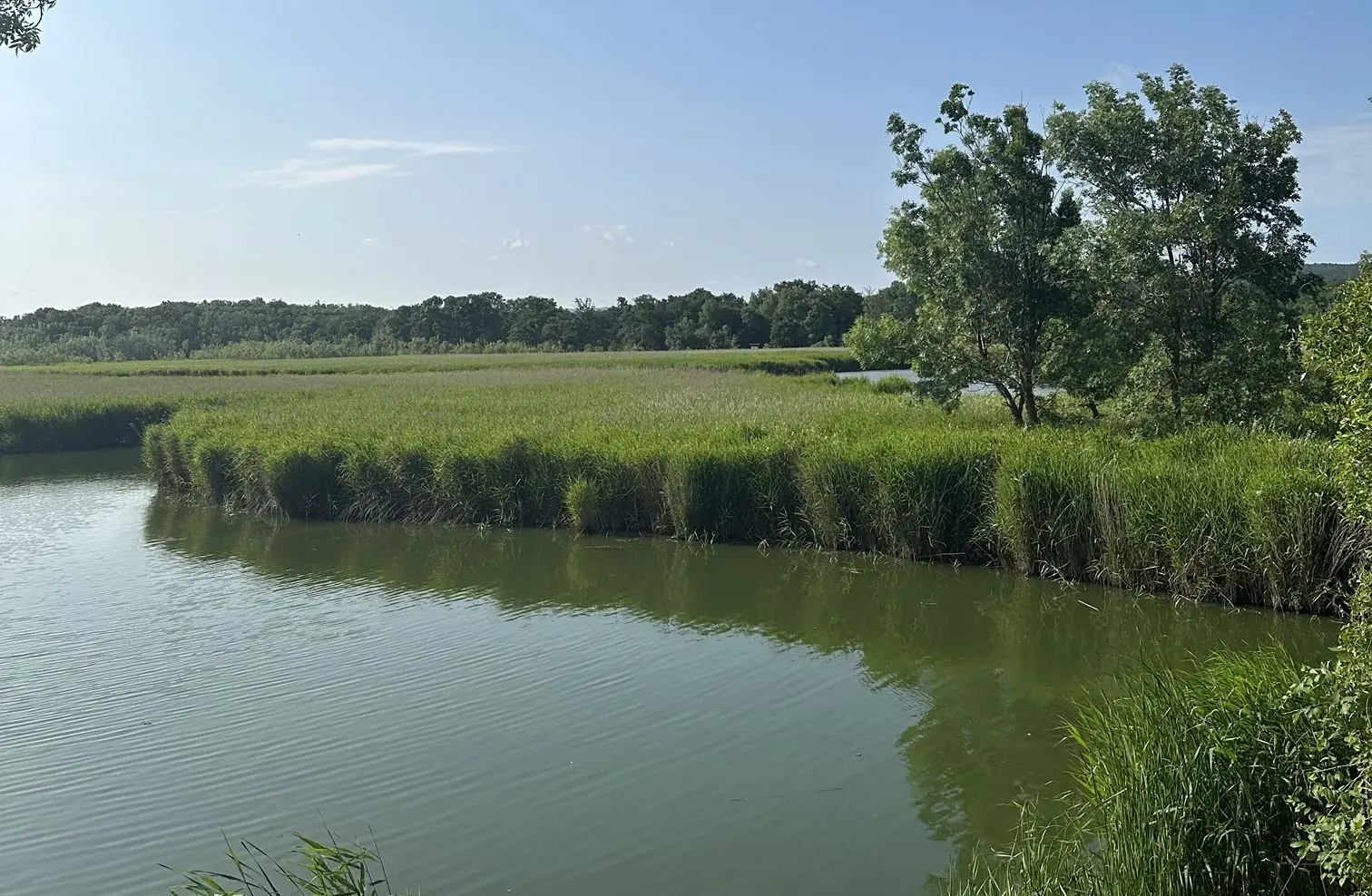
The river forming the Türkiye–Bulgaria border as it meets the sea.
To be verified: Sınır nehri; yaklaşmak yasak olabilir. Yalnızca uzaktan izlenmeli.
About 5 km north of İğneada, the river reaches the Black Sea and forms the natural border. Access is restricted (military zone); shown for information only.
Map: Beğendik & Border VillagesFAQ
Where is Mutludere (Rezovo) Border River?
Mutludere (Rezovo) Border River is in the Beğendik & Border Villages area, about 12 km from İğneada town centre as the crow flies. The road distance can be longer.
How do I get to Mutludere (Rezovo) Border River?
Coordinates 41.9818, 28.0205. Use the “Open in Google Maps” button on this page for directions from where you are. For getting to İğneada from Istanbul, see our “Getting there” page.
Nearby
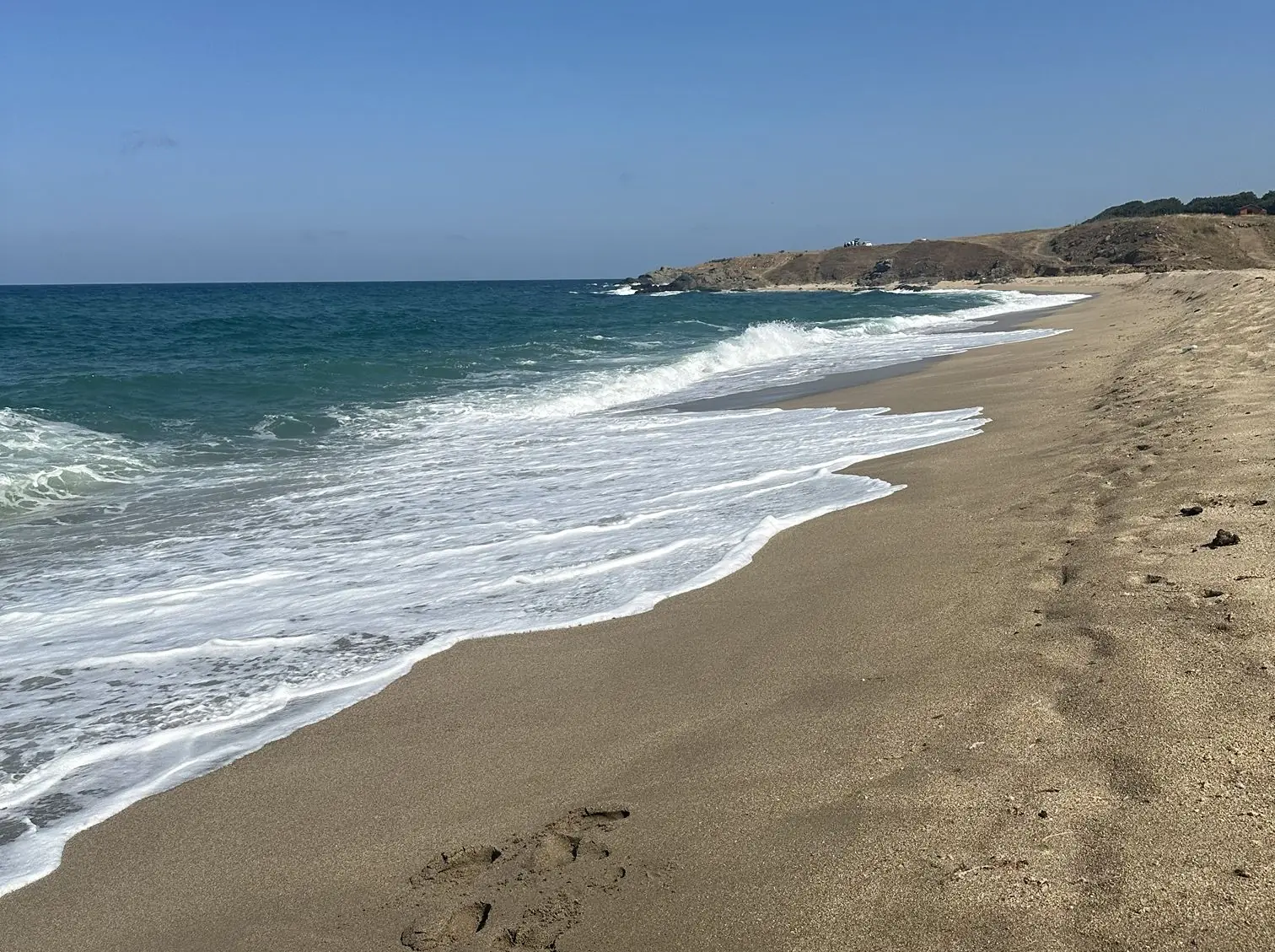
Beğendik Beach
Beğendik & Border Villages · To be verified
One of the largest and most beautiful sandy beaches in the area; the sea is deep and often wavy.
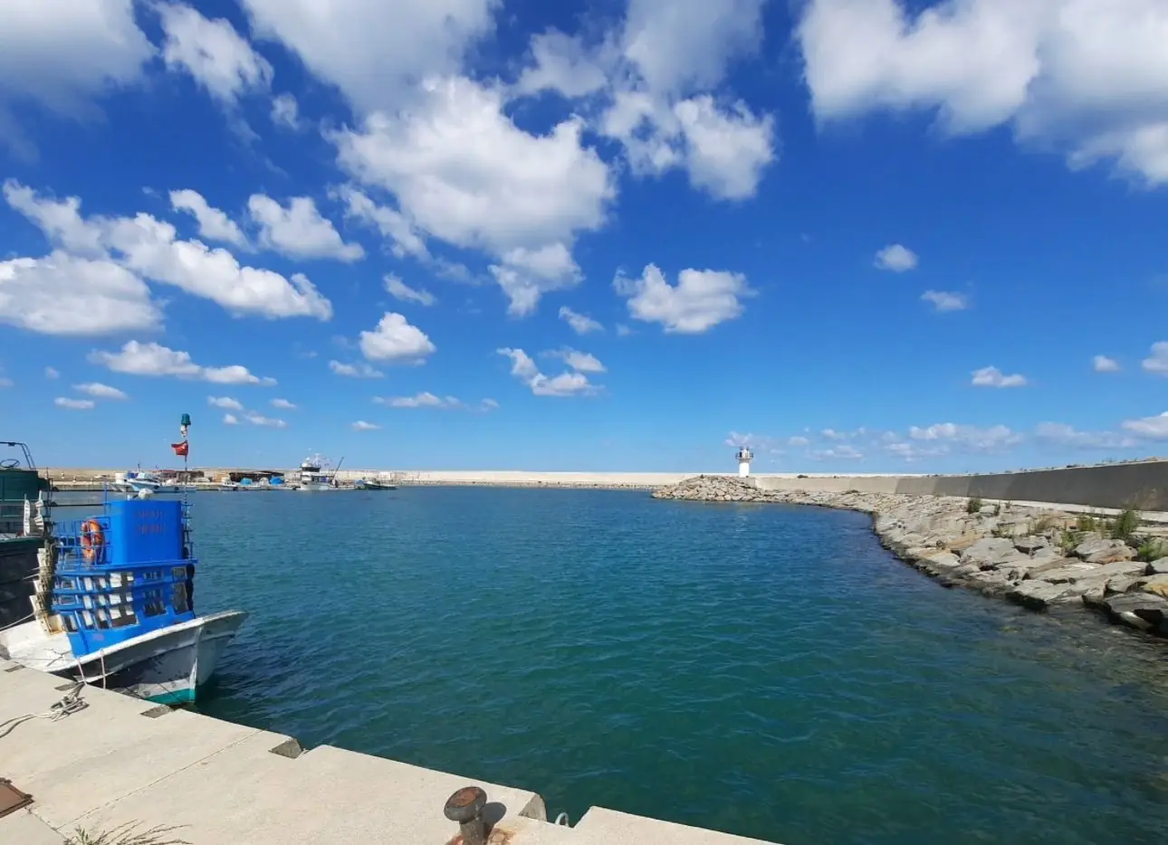
Beğendik Village
Beğendik & Border Villages · To be verified
A border village next to Bulgaria with campsites and an unspoilt coast.
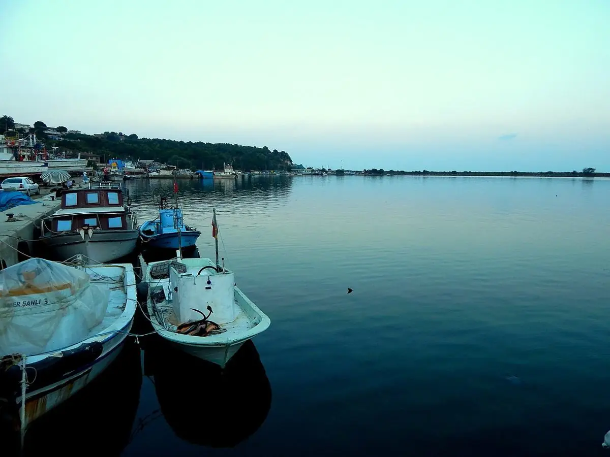
İğneada – Limanköy Fishing Harbour
Limanköy & İğneada Cape · To be verified
A colourful harbour where boats return in the morning with the day's catch.
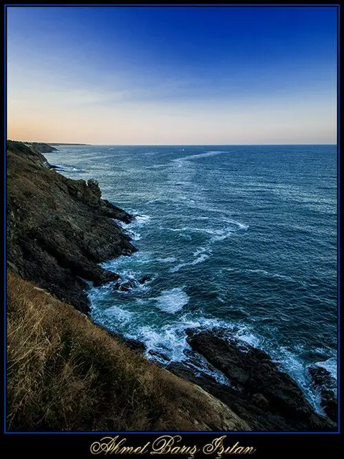
Limanköy Coves
Limanköy & İğneada Cape · To be verified
Small natural coves with clear water and rocks.
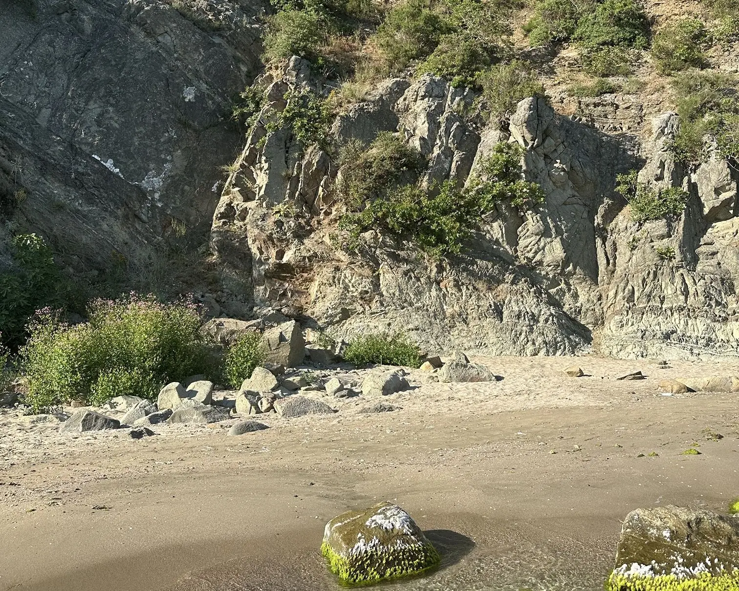
Lovers' Cove
Limanköy & İğneada Cape · To be verified
A small cove by the Limanköy fishing shelter, loved for calm, clear water even on wavy days.
Lake Erikli
Longoz Forests National Park · To be verified
A quiet lake north of town, framed by dunes and forest.